On November 11, 1926, a highway was designated that would change the American West forever. Route 66 ran 2,448 miles from Chicago to Santa Monica, California, passing through the heart of New Mexico along the way. It turns one hundred years old this November. New Mexico has been living alongside it the whole time.
Before the interstates came and bypassed everything worth stopping for, Route 66 was the road that promised the West. It carried Dust Bowl families toward California, returning veterans toward possibility, and the first wave of American tourists toward landscapes they had never imagined. In New Mexico it ran through some of the most dramatic and culturally layered country on the continent. Most of the people driving it had no idea.
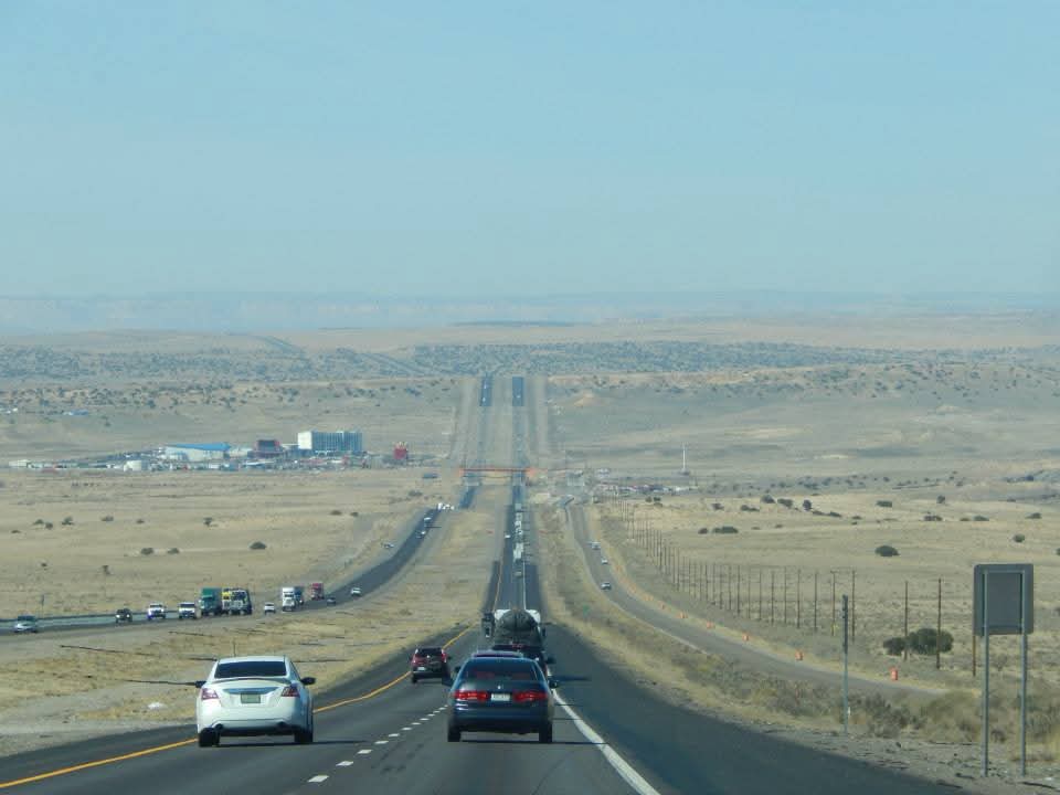
The New Mexico stretch entered the state at Glenrio, a ghost town now straddling the Texas border, and ran west through Tucumcari, Santa Rosa, Albuquerque, and Gallup before crossing into Arizona. Nearly four hundred miles of high desert and volcanic country, threaded with living Indigenous culture that the road carried travelers through at sixty miles an hour, most of them watching for the next gas station rather than the world they were moving through.
But the road left its mark on New Mexico as surely as New Mexico left its mark on the road.
Tucumcari is the most honest Route 66 town left in New Mexico. The Blue Swallow Motel still stands, its neon sign lit against the eastern New Mexico sky, its rooms still rented, its place in the American imagination still intact. Drive the old alignment through town at dusk and you are as close as you can get in 2026 to what this road looked like in its prime. The neon, the motels, the water towers, the grain elevators. A town the interstate bypassed that survived anyway, on stubbornness and history and the travelers who still come looking for exactly this.
Santa Rosa doesn’t ask for your attention the way some Route 66 towns do. It is a working town, the kind of place where people have lives that don’t revolve around the road running through it, and that self-sufficiency gives it a character that more celebrated stops sometimes lose. It simply has things worth stopping for.
The Blue Hole is one of them. A perfectly circular artesian pool of impossibly blue water sitting at the edge of town, sixty feet across and seventy feet deep, its temperature a constant 61 degrees year round. It sounds invented until you are standing at the rim looking down into it. Scuba divers come from across the country to dive it, drawn by the clarity and the depth and the surreal fact of finding this in the middle of the high desert. Route 66 travelers stopped here for the water on their way west. Divers stop here now for the same reason, a century later. The Route 66 Auto Museum sits downtown, a collection of restored classics that feels less like a tourist attraction and more like a genuine act of memory. A few miles south along the Pecos River, Puerto de Luna is the village that Rudolfo Anaya used as the setting for parts of Bless Me Ultima, one of the great New Mexico novels. Santa Rosa sits at the edge of that country, the plains giving way to the river, the old road running through both.
East of Albuquerque, at the junction of Route 66 and Highway 285 where the high plains begin their drop toward the Rio Grande valley, Clines Corners has been a traveler’s landmark since Roy Cline built his first gas station there in 1934. It is one of the oldest continuously operating roadside stops on the entire Route 66 system. Turquoise jewelry, green chile sauce, cold drinks, and the particular relief of finding something familiar in a landscape that stretches in every direction without apology. Generations of travelers have stopped here. Most of them remember it. That is what this road does.
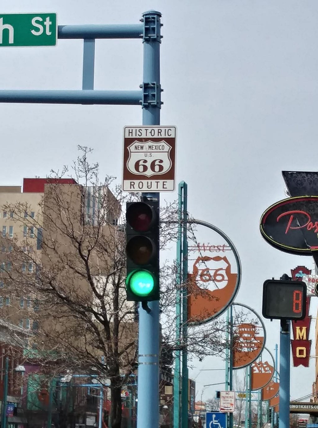
In Albuquerque, Route 66 is Central Avenue, running east to west through the heart of the city. The signs are there. The history is visible. What most travelers miss is the detail hiding in plain sight at one downtown intersection.
Stand at the corner of Central Avenue and 4th Street in downtown and you are standing at the junction of Route 66 and Route 66.
Central and 4th Street

When the highway was originally designated in 1926, it ran north from Albuquerque through Tijeras Canyon to Santa Fe before heading west to rejoin the main alignment. In 1937 the road was rerouted to run directly west from Albuquerque to Gallup, bypassing Santa Fe entirely. The original alignment became the Historic Route 66 Santa Fe Loop. At Central and 4th, both alignments meet. Two versions of the same road, carrying the same designation, converging at one unremarkable intersection.
Most people drive through it without a second thought.
At night, though, the road is easier to see for what it is. Neon still clings to parts of Central. Old motels flicker against the dark. The line of the road runs straight through the city, and if you follow it long enough you can still feel the continuity, the sense that this street once connected Chicago to the Pacific and still, in a quieter way, does.
Route 66 sign in Grants
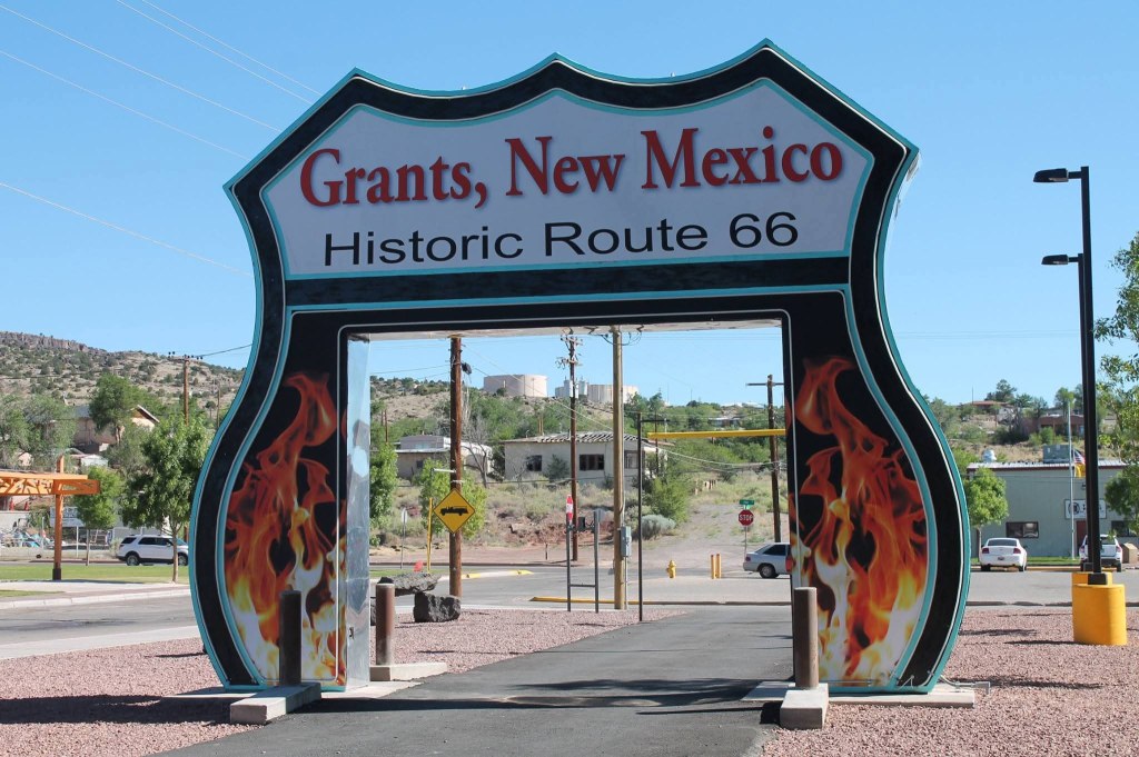
West of Albuquerque the road passed through Grants, another working town that wears its Route 66 history without making a performance of it. Its story is inseparable from the uranium boom that transformed the region in the 1950s. Paddy Martinez discovered uranium on nearby Haystack Mountain in 1950 and the town expanded almost overnight. The road that brought tourists brought miners too, and the landscape that looked empty to passing travelers was anything but.
Gallup is where the road’s relationship with Indigenous New Mexico becomes impossible to ignore. The Inter-Tribal Indian Ceremonial has been held here since 1922, four years before the road was designated. Route 66 brought Anglo tourists into contact with Navajo and Pueblo culture on a scale that had never happened before, and commodified both in ways the road’s boosters never examined carefully and the communities affected are still reckoning with. The neon strip in Gallup is one of the great surviving Route 66 streetscapes in the country. It is also a border town with all the complexity that implies, a crossroads that has been negotiating between cultures for longer than the road has existed.
Route 66 Casino West of Albuquerque
That complexity is the truth of Route 66 in New Mexico. The road brought commerce and connection and also displacement and erasure. It preserved towns and bypassed others. It introduced America to the Southwest and flattened the Southwest into a postcard for America’s consumption. Both things happened. Both things are still happening.
The centennial this November is worth celebrating and worth examining honestly.
Route 66 is one of nine historical threads running through my book in development, The Light Here Is Different, a hybrid photo-essay exploring New Mexico’s iconic and hidden places across six regions. The road runs through the book the way it runs through the state, connecting places and stories that would otherwise seem unrelated, reminding us that a road is never just a road. It is everything that traveled it, everything it made possible, and everything it left behind.
One hundred years on, New Mexico is still living with all of it, because a road is never just a road.

Leave a comment